Services
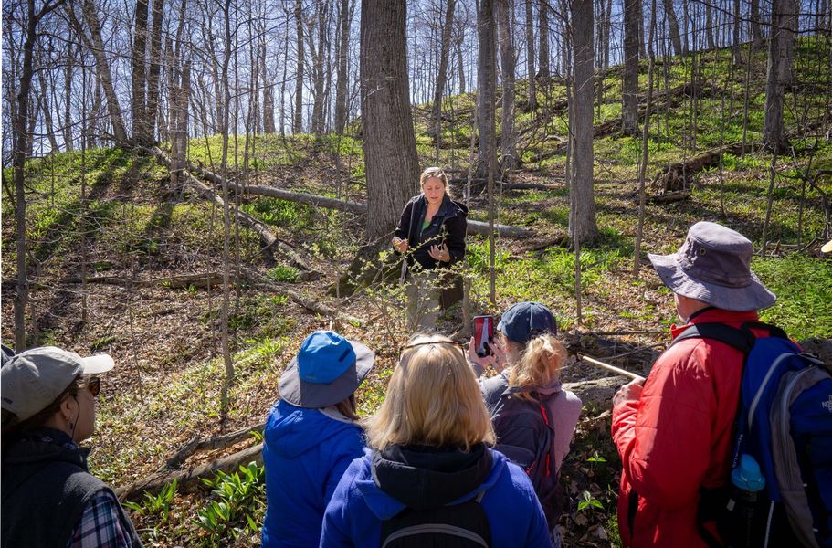
Ecological assessments and biological inventories are instrumental to making land use decisions for both private and public lands, such as planning and managing recreational use, locating high-priority conservation areas, and managing rare or target species populations.

We specialize in habitat and conservation-oriented Management Plans that prioritize healthy and resilient natural communities. This commonly includes practices to restore degraded land into functioning ecosystems by identifying and treat invasive species, creating or enhancing habitat for rare, threatened, and endangered species, creating customized seed mixes and planting plans for restoration, and management of declining forest stands. We do not write commercial forestry plans.
We offer landowners, organizations, and neighborhood and lake associations technical assistance in identification, mapping, and management planning for invasive plant species impacting their community and natural resources. Invasive species surveys can be incorporated into more general assessments or as a stand-alone survey and assessment.

We can assist on projects between a few square feet to hundreds of acres, and can provide you with a solid plan to restore your lawn, garden, forest, or old field with native vegetation communities.
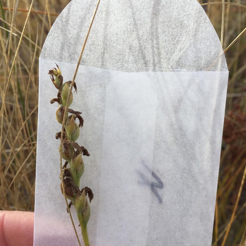
We work with the Seeds of Success program via the Dixon National Tallgrass Prairie Seed Bank at the Chicago Botanic Garden, and the North American Orchid Conservation Center at the Smithsonian Environmental Research Center, to collect native seed for conservation and restoration initiatives and the Millennium Seed Bank Project. We utilize their methodology when collecting seed for private or regional projects.
We offer support services for Land Trust organizations setting up conservation easements. Conservation easements require the creation of a baseline data report to accompany the easement language that is attached to the parcel's deed; the baseline data report is a detailed account of the property in it's current condition, including maps, georeferenced photographs, soil reports, buildings and existing infrastructure, among other data. This report is then referenced in monitoring and easement enforcement.